AirBee Aerial Drone Media
FAA Part 107 Certified
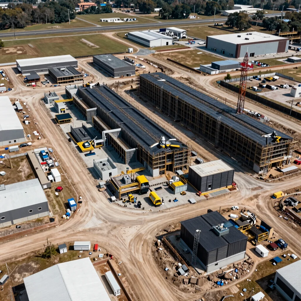
Bridge the gap between field conditions and project management software with verifiable, high-frequency spatial intelligence for construction, engineering, and architecture.
Our Core Capabilities
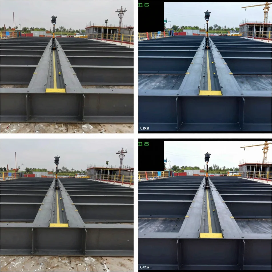
Monitor contractor schedules and detect potential rework early with frequent, accurate site updates.
Generate survey-grade orthomosaic maps and high-resolution 3D models for precise project planning and execution.
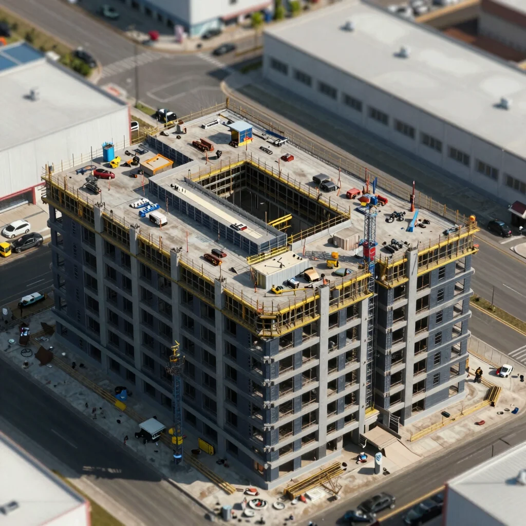
Conduct critical facility inspections and ensure regulatory compliance with detailed, safe aerial data collection.
Tangible Results
Transform raw aerial data into precise, integrated assets for your CAD and BIM workflows. Explore interactive examples.
Our Process
01
Rigorous FAA Part 107 authorization, airspace analysis, and safety protocols ensure every mission is fully compliant and insured.
02
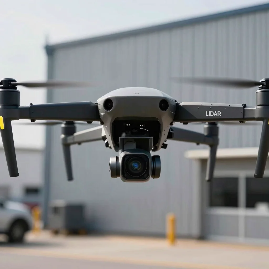
Utilizing enterprise-grade drones and advanced sensors for accurate data capture, even in complex industrial environments.
03
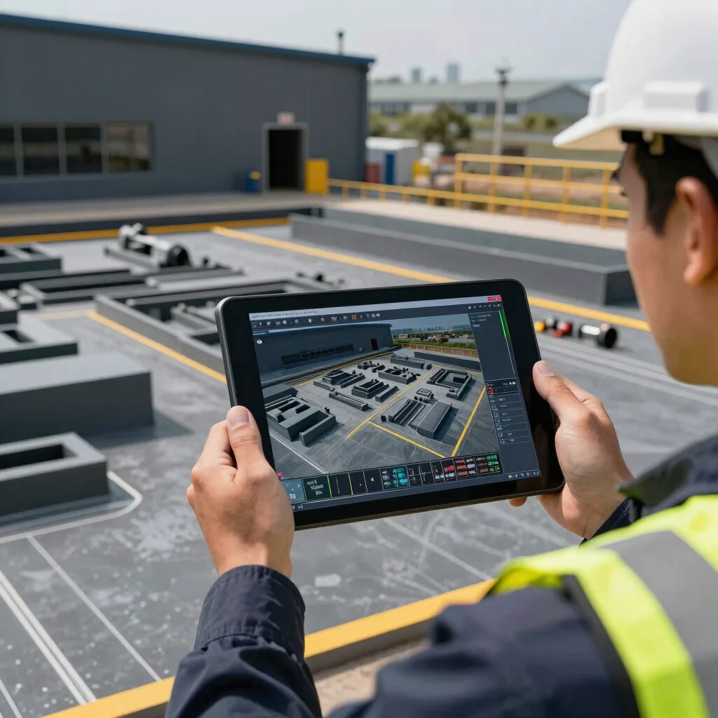
Access and integrate your orthomosaic maps, 3D models, and progress reports through a secure, cloud-based platform.
Partner with AirBee Media for survey-grade aerial intelligence that drives precision and efficiency in your projects.