AirBee Media
Precision data solutions for construction, engineering, and infrastructure projects.
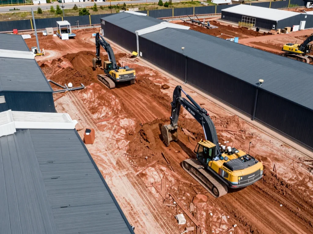
Track site evolution with high-frequency aerial data, ensuring projects stay on schedule and within budget.
Generate survey-grade orthomosaic maps with centimetric accuracy, seamlessly integrated into your BIM and CAD workflows.
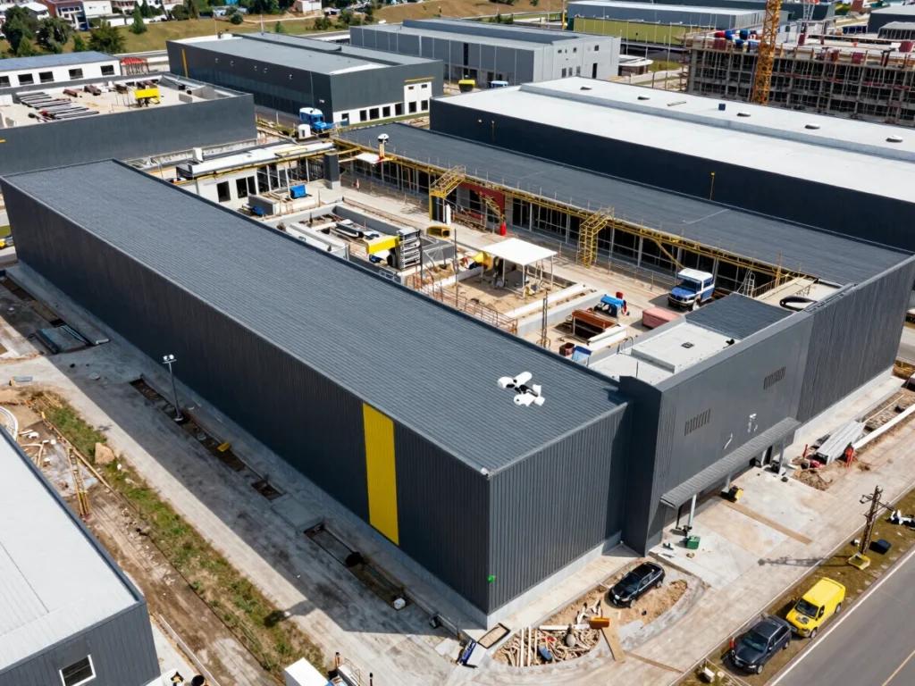
Provide compelling aerial perspectives for large-scale commercial real estate developments and land surveys.
Conduct critical infrastructure inspections with advanced sensors, identifying anomalies and ensuring structural integrity.
Tell us about your project. Our team will provide a tailored proposal for your aerial data needs.
Emailairbeemedia@gmail.com