
Aerial Mapping, Inspections & Visual Media
High-precision RTK site data, infrastructure capture, and commercial production across Alabama and the Southeast.
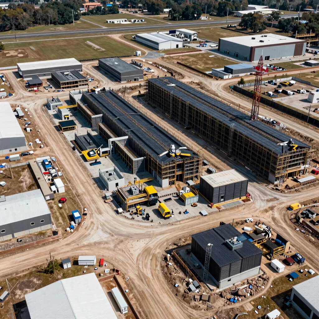
AERIAL MAPPING & 3D DATA
Orthomosaics, Elevation Models & Digital Twins
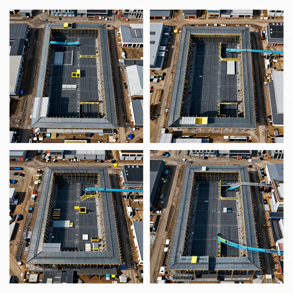
INFRASTRUCTURE & ASSET INSPECTIONS
High-Resolution Roof, Tower & Facility Capture
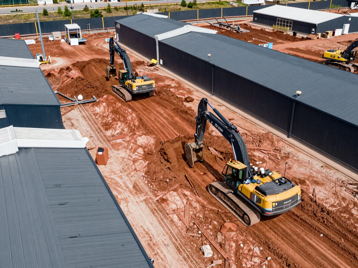
COMMERCIAL VISUAL MEDIA
Operations, Equipment & Brand Video Production
Ready to Scope Your Site or Project?
Send over your site location and target deliverables for a fast commercial quote.
Request Site Quote