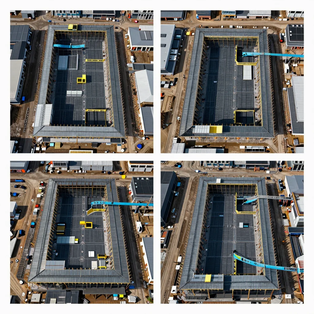
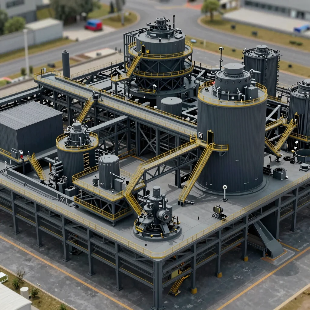
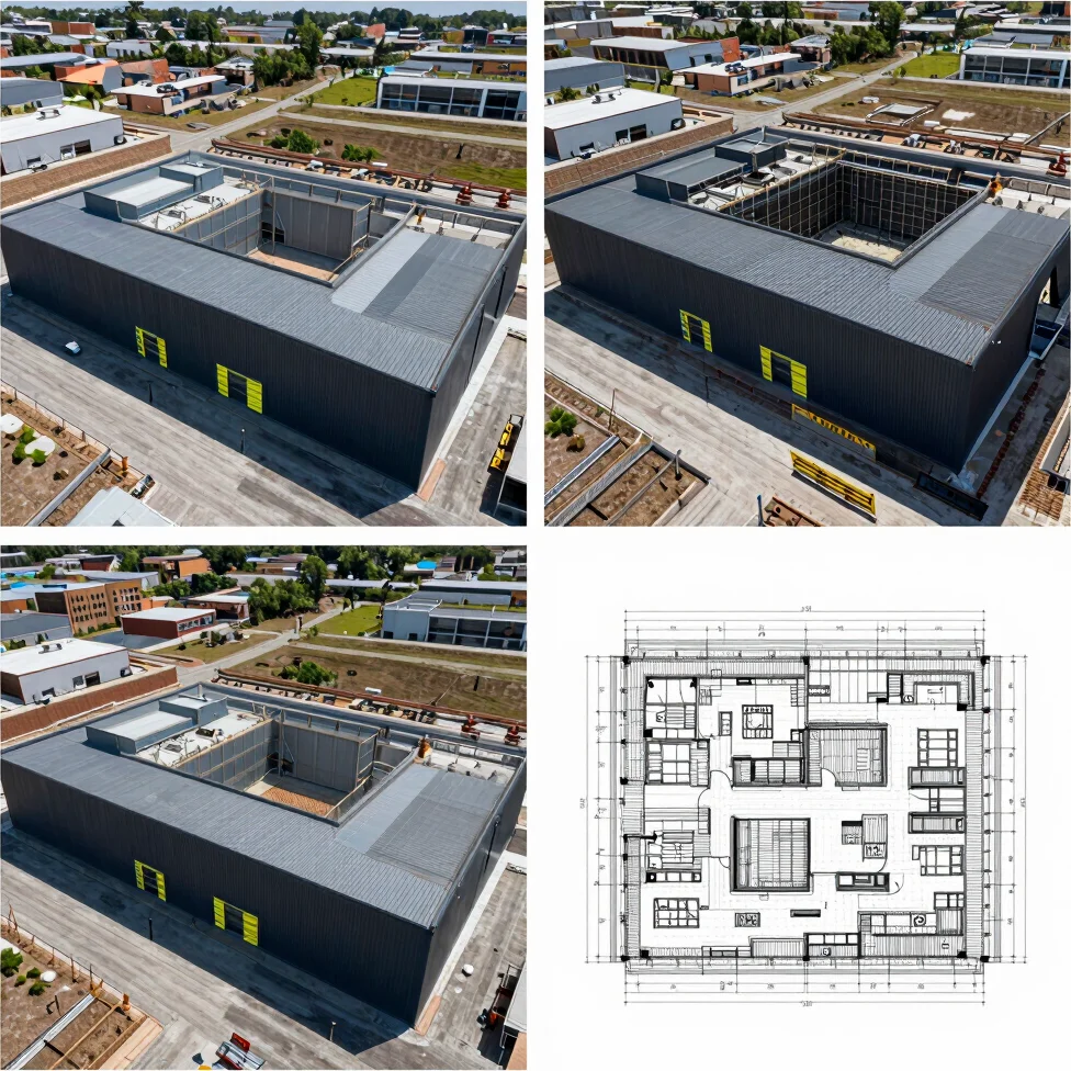
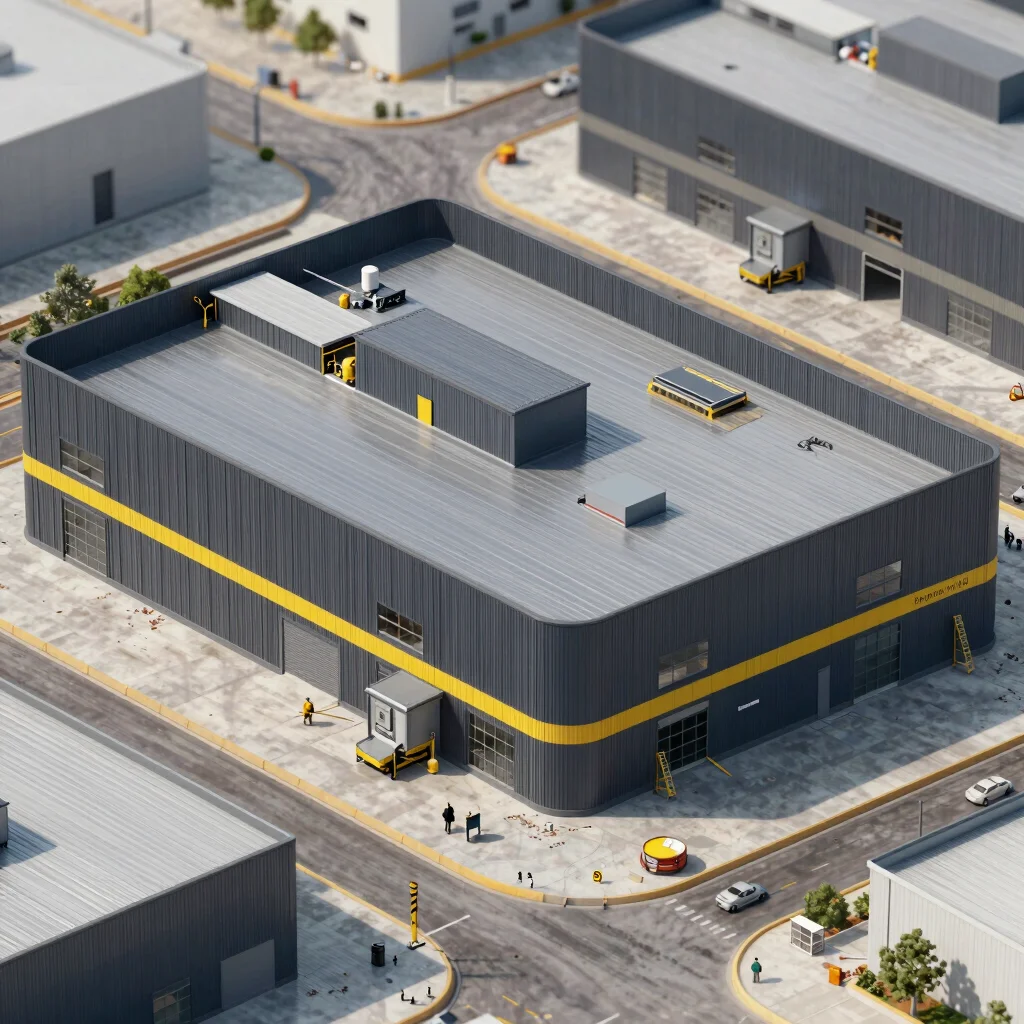
Explore interactive point cloud and orthomosaic dataset previews, showcasing real ground control precision and proven site integration for commercial civil infrastructure projects.
Interactive Data Packages
Review our high-resolution orthomosaic maps, detailed 3D site models, and weekly progress updates. Downloadable in formats like LAS point clouds, DXF contours, and TIFF overlays for seamless integration into your CAD/BIM workflows.